spot it world atlas megan mckean
Spot It! World Atlas - Megan McKean
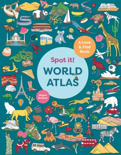
Spot it! World Atlas is a gorgeous and vibrant look-and-find children's atlas for kids aged 3+. Travel around each continent and discover the icons that are special to each country. Explore Europe and spot the Eiffel Tower in France or a scrumptious pizza in Italy. Trek to Africa and spot the pyramids in Egypt. Journey to Asia and spot a bamboo-eating panda in China or the gleaming Taj Mahal in India. Cruise to Oceania and spot colorful fish swimming in Australia's Great Barrier Reef. Roam the wildernesses of Canada in North America and spot a moose, then navigate to South America and spot a soccer ball in Brazil. Written and illustrated by the talented Megan McKean, children will be happily occupied, at home or on the go, searching for iconic animals, buildings, food and more, while learning interesting facts about countries around the world.
Objev podobné jako Spot It! World Atlas - Megan McKean
Unlucky - Megan McKean
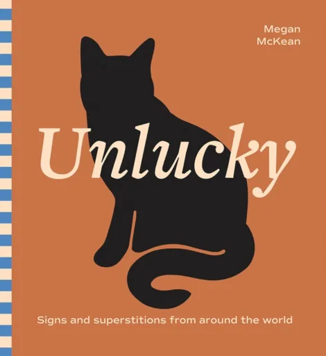
Did you know that bringing bananas on a ship could spell peril for sailors? Or that haircuts on Tuesday are considered a no-no in India? Unlucky unpacks 50 signs, superstitions and omens you should know to avoid bad luck. From Megan McKean, the author and illustrator of Lucky (Hardie Grant Books, 2025) comes this weird and delightful illustrated guide to all things misfortunate. From superstitions tracking back centuries to region-specific omens, Unlucky is full of fun and frightful facts paired with Megan's signature colorful illustrations and lots of hidden details.
Objev podobné jako Unlucky - Megan McKean
Children's Illustrated World Atlas - DK
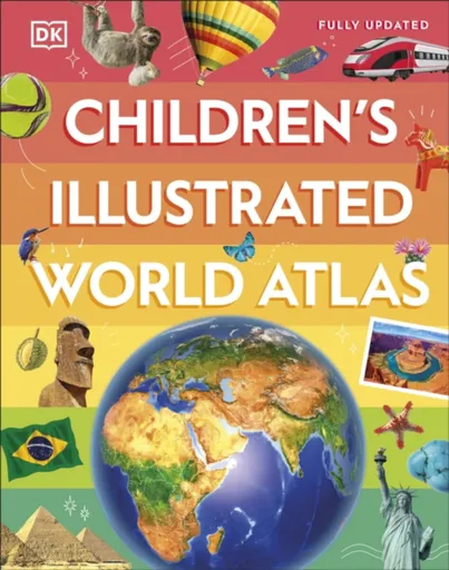
Take young readers on the ultimate round-the-world trip with this impressive atlas - packed full of beautiful illustrations and photographs.Discover the world map-by-map with this exciting world atlas book for children, featuring more than 50 maps! Each page is filled with fascinating information, facts and colourful illustrations of our world. Children aged 9-12 will love to learn all about the many countries, cultures and people of the world through vibrant maps. Fascinating facts, local stories, vivid pictures, and clear, satellite-based maps together make this atlas a global yet personal experience for young readers.This illustrated atlas book for children offers: - Bite-sized information giving the profiles, facts, stats and flags of every country.- Pictures and stories explaining the society, culture and history of each region.- Maps created using satellite imagery providing a clear view of the world map-by-map.- A variety of topics covered, including population density, wealth, and internet access shown through graphics.From Bangkok''s floating markets to the carnival in Venice, the Children''s Illustrated World Atlas brings together views from windows all over the world. This illustrated atlas not only portrays regions, such as the Siberian wastes, with beautifully detailed maps but also describes the peoples who live there.
Objev podobné jako Children's Illustrated World Atlas - DK
Podívejte se také
český překlad Megan Campisiová
Megan Rapinoe Billie Jean King
zápustné svítidlo SPOT II C 9W
minimalistický LED spot NUMINOS XS 48V
NORDLUX Ethan 1-Spot stropní svítidlo
zápustné LED svítidlo SPOT II C
URail LED spot bílý 230V
MAYTONI TR002-1-GU10-B spot
stropní vestavný spot IP65 saténové sklo
3fázový LED spot NUMINOS XL PHASE
výkonný LED spot 3250 lumenů
waleská adaptace knihy Spot na farmě
nástěnné svítidlo spot
World of Bubbles
věšák na boty Wenko Atlas
povlečení atlas grádl zelené
Compact World Atlas - DK
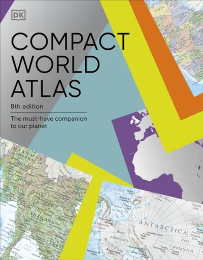
Colourful maps, flags and fascinating insights make this pocket sized atlas an ideal source of information about our ever changing world.Arranged in two main sections - a world atlas and country factfile - the Pocket A-Z World Atlas provides an invaluable source of accurate, informative and interesting geographical information, all in one compact and affordable volume. The atlas section, arranged by continent, presents over 70 colourful, clearly labelled, easy-to-read regional maps showing all the world''s nations, combining digital landscape modelling with the most important roads, railways, rivers, and settlements. Each map is annotated with fascinating ''insight'' facts that reveal a wealth of amazing information from around the world. The second section comprises a comprehensive series of country profiles, arranged alphabetically, covering all the essential facts and figures, including details of geography, climate, society, and economics. This section also contains reference factfile data for every nation, including the national flag, total area, population, languages, religions, and currency.Dive straight in to discover: - This new fully revised 8th Edition incorporating hundreds of updates to maps and statistics.- 71 regional maps, 196 country profile maps, flags, and statistics.- In-depth country profiles. - Fully cross-referenced index/gazetteer.Finding places is quick and convenient with a clearly-styled ... Unknown localization key: "more"
Objev podobné jako Compact World Atlas - DK
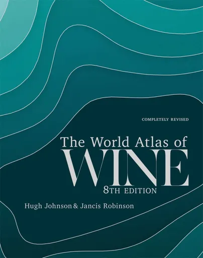
World Atlas of Wine 8th Edition - Hugh Johnson, Jancis Robinson
Winner of the André Simon Drinks Book of the Year 2019Shortlisted for the Louis Roederer Wine Book of the Year 2020"One book deserves a place on every wine drinker''s shelf, and that is The World Atlas of Wine" - Victoria Moore in the Telegraph"magisterial" - Fiona Beckett, Guardian "a key reference material for any sommelier, wine professional or any amateur serious about their passion" - Imbibe "The most useful single volume on wine ever published... If I owned only one wine book, it would be this one." - Andrew Jefford, Decanter*** Few wine books can be called classic, but the first edition of The World Atlas of Wine made publishing history when it appeared in 1971. It is recognized by critics as the essential and most authoritative wine reference work available. This eighth edition will bring readers, both old and new, up to date with the world of wine. To reflect all the changes in the global wine scene over the past six years, the Atlas has grown in size to 416 pages and 22 new maps have been added to the wealth of superb cartography in the book. The text has been given a complete overhaul to address the ... Unknown localization key: "more"
Objev podobné jako World Atlas of Wine 8th Edition - Hugh Johnson, Jancis Robinson
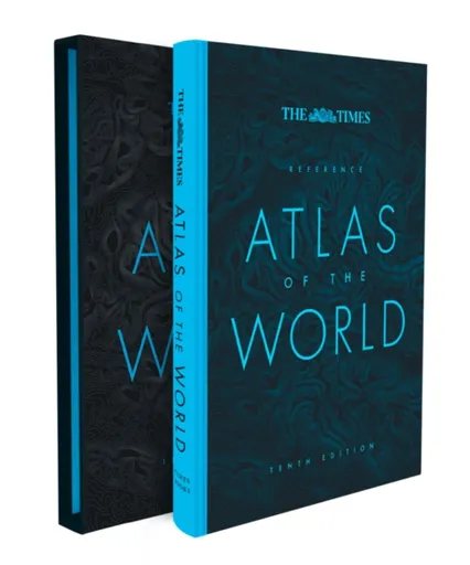
The Times Reference Atlas of the World - Times Atlases
Discover new places with authoritative atlases, beautifully designed and packaged.Tenth edition of this popular atlas from the prestigious and authoritative Times Atlas range. This world atlas contains the breadth, scale and detail to make it an ideal reference resource for school, home and business.The atlas has been brought fully up-to-date to provide a detailed and attractive picture of the world today. The beautifully illustrated introductory section gives a detailed profile of today’s world and covers major contemporary geographical and global issues – such as migration and population growth – through maps and graphics.The reference maps give exceptional detail and provide accurate, accessible and attractive coverage, helping you explore the world.A comprehensive guide to the world’s states and territories including flags, capitals and key statistics is included. Making this an ideal reference atlas for home, school or office.Main features include:• Authoritative mapping of the whole world• Plans of 46 of the world’s major cities• Geographical reference section with flags and statistics for the world’s states and territories• Maps and illustrations on major geographical themes, including earthquakes, population, cities, climate and migration• Historical mapping of the world from 1858 to the present day• More than 45,000 index entries
Objev podobné jako The Times Reference Atlas of the World - Times Atlases
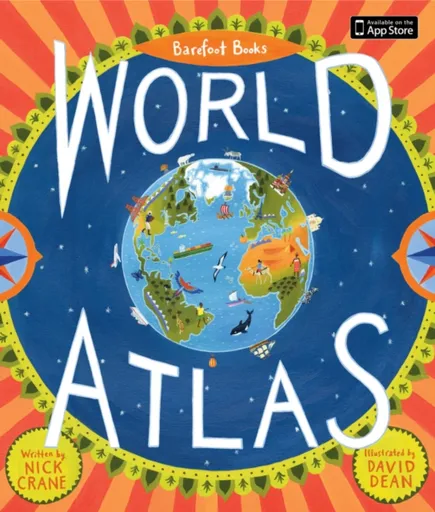
Barefoot Books World Atlas - Nick Crane
"With its emphasis on sustainability, interconnectedness, and diversity, [Barefoot Books World Atlas] offers young armchair travelers and globe-trotters much to discover" – Publishers Weekly Explore the world at your fingertips in this comprehensive, kid-friendly guide to geography and cultures around the world. Laid out by geographic region, zoom in and out our World Atlas celebrates cultural diversity and highlights the ways different people care for this planet we call home Further learning with he Barefoot Books World Atlas app and Barefoot Books World Atlas Sticker Book Table of contents helps guide kids in their exploration Includes a map poster Large hardcover format makes the perfect gift for young globetrotters!
Objev podobné jako Barefoot Books World Atlas - Nick Crane
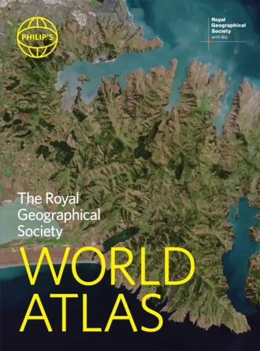
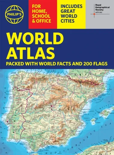
Philip's RGS World Atlas - Philip's Maps
"An excellent world atlas. Very illuminating, good colours, clear texts...good glossary and, last but not least, up-to-date". Amazon customer review· The perfect world atlas for work, study or leisure· Great value for money· 96 pages of authoritative world maps, physical and political· 70 city maps in the fascinating World Cities section, with full-page satellite images for 10 great cities· Over 35,000 place name indexAll this and a special 32-page introductory section - ''The World in Focus'' - covers key geographical themes such as the Earth''s position in the Solar System, the structure of the Earth, climate and weather, the environment, population, resources, economics and international organizations. Vital information on topics covered in geography, humanities and economics courses.The information-packed World Atlas from Philip''s, published in association with the Royal Geographical Society has been fully updated for this new, 2021 edition
Objev podobné jako Philip's RGS World Atlas - Philip's Maps
Philip's RGS World Atlas (A4) - Philip's Maps
Thousands of global facts at your fingertips with the best value quick-reference World Atlas on the market. Both physical and political geography is clearly illustrated alongside the great cities of our planet.The highest peak? The deepest ocean trench? The wettest, driest, longest, largest - we list the world''s fascinating extremes. Crammed with practical information like a Distance Chart for World Cities, World Time Zones, over 200 State Flags and the top 100 most populous countries, we include around 15,000 places indexed for easy checking. Whether for the pub quiz, travel planning or school reference, this great value handy world atlas is crammed with everything you need to know.Alongside the topography and physical attributes of the earth we also show political boundaries and the great global cities, including transport hubs and places of interest from mosques to temples, palaces to zoos and shopping centres to tourist information centres.Features include: * 200 Flags of the world''s major states and territories* 21 City centre maps: transport (road, rail, trams, light railways, bus and railway stations) and places of interest including religious buildings (churches, abbeys, cathedrals, synagogues, shrines, temples, mosques), museums, galleries, theatres, palaces, castles, parks, gardens, zoos, shopping centres, hospitals, Tourist Centres.* World ... Unknown localization key: "more"
Objev podobné jako Philip's RGS World Atlas (A4) - Philip's Maps
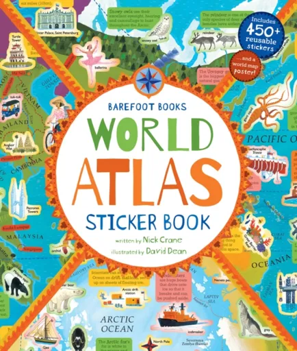
World Atlas Sticker Book
"This is a very hands-on, interactive book so it would be great for children that learn in this manner" - Youth Services Book Review Guide children on a fact-packed journey around the world, teaching them about each region’s people, plants, animals and landmarks -- through stickers! With 450+ resuable stickers, this interactive companion to Barefoot Books World Atlas includes 32 pages of maps and information about our world. Further learnign with the Barefoot Books World Atlas app and Barefoot Books World Atlas Includes a map poster The perfect gift for young globetrotters!
Objev podobné jako World Atlas Sticker Book
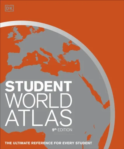
Student World Atlas - DK
Packed with beautifully designed and detailed maps, this world atlas is the perfect companion for young geography students.First published in 1988 and now in its 9th edition, Student World Atlas has been fully revised and updated. With 290 maps in total, it combines larger, traditional reference maps with smaller topic maps. These topics include industry, farming, climate, population, and the environment. Each theme will engage students, expanding their understanding of Earth and also making possible comparisons between different regions. For example, this student atlas not only displays an impressive map of the Caribbean, but highlights the hurricanes that continually threaten these islands and the people that live there. Then move to New Zealand map and learn about its diverse population of Polynesians, European settlers, and many other immigrants that make up this multicultural nation. On every page, you will discover more and more fascinating facts about each country''s landscape and its inhabitants. In addition to maps, this clear and accessible atlas also includes up-to-date statistics and flags for every country. It distills the huge mass of information available about our world down to the essential facts needed for the effective and successful study of our ever-changing planet.
Objev podobné jako Student World Atlas - DK
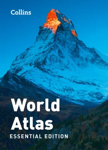
Collins World Atlas: Essential Edition - Collins Maps
A new fully updated reference atlas in the exciting Collins world atlas range. Great value and contains all the world maps you need in a budget atlas, for family, study and business use.
Objev podobné jako Collins World Atlas: Essential Edition - Collins Maps

The World Atlas of Rivers, Estuaries, and Deltas - Carol Wilson, Stephen Darby, Luciana Esteves, Jim Best
A stunningly illustrated atlas of the world’s rivers, estuaries, and deltas, and their ecosystemsFrom the Congo and the Mekong to the Seine and the Mississippi, Earth’s rivers carve through landscapes before coursing into the world’s oceans through estuaries and deltas. Their inexorable flow carries sediment and more, acting as lifeblood for a variety of ecosystems and communities. More than any other surface feature of Earth, rivers, estuaries, and deltas are vitally important to our economic and social well-being, and our management of them often sits at the sharp edge of today’s most pressing environmental challenges. The World Atlas of Rivers, Estuaries, and Deltas takes readers on an unforgettable tour of these dynamic bodies of water, explaining how they function at each stage of their flow. Combining maps and graphics with informative essays and beautiful photos, this invaluable reference book will give you a new appreciation for the power that rivers, estuaries, and deltas wield.Features a wealth of color photos, maps, and infographicsBrings together invaluable perspectives from leading expertsDescribes the rich biodiversity associated with the world’s rivers, estuaries, and deltasExplains how rivers, estuaries, and deltas work, from river networks to deltaic floodplains, and sheds light on the erosion, movement, and deposition ... Unknown localization key: "more"
Objev podobné jako The World Atlas of Rivers, Estuaries, and Deltas - Carol Wilson, Stephen Darby, Luciana Esteves, Jim Best
World Atlas of Beer - Tim Webb, Stephen Beaumont
Praise for the second edition of World Atlas of Beer:''Written with authority and wit... the perfect guide to the rapidly changing beer scene'' Guardian***As craft brewing continues to go from strength to strength across the world, World Atlas of Beer is the definitive and essential guide to beer. Understand the rich, multi-faceted traditions of Belgium, the Nordic legend that is Finnish Sahti, the relatively new phenomenon of the New England hazy IPA, and why Australia''s lower-strength beers are one of its great successes. With thousands of breweries now operating around the globe, and more opening every day, this is the expert guide to what is really worth drinking.Country by country the book considers a vast range of brewing techniques, beer styles and traditions. Detailed maps describe crucial trends in major territories and features such as matching beer with food and how to pour different kinds of beer complete the picture. Now in a fully updated third edition, this book is the perfect companion to help you explore the best beers the world has to offer.
Objev podobné jako World Atlas of Beer - Tim Webb, Stephen Beaumont
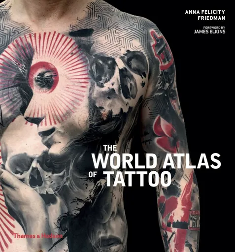
The World Atlas of Tattoo - Anna Felicity Friedman
Showcases the work of the top 100 tattoo artists around the globe Lively and informative, The World Atlas of Tattoo is a superbly illustrated and compelling reference book that, through examining the meeting point between tattoo artists and their personal understanding of their environment, presents a well-informed and nuanced account of what has become a widespread art practice. Organized geographically, each section is introduced by a short historical overview of the types of tattooing traditionally practised in that area of the world, enabling the reader to trace historical threads in the careers of some of the profiled tattooers, as well as marvel at how other artists have managed to create novel forms of tattooing that transcend any previous context. The book also tracks the movement of styles from their indigenous settings to diasporic communities, where they have often been transformed into creative, multicultural, hybrid designs. Written by an international team of scholars, historians and journalists, this comprehensive atlas will enlighten and excite anyone who is passionate about tattoo art in its many forms worldwide. Contents List Introduction • Europe • North America • Central and South America • East, South, Central and Southeast Asia • Pacific Islands and Australia • ... Unknown localization key: "more"
Objev podobné jako The World Atlas of Tattoo - Anna Felicity Friedman
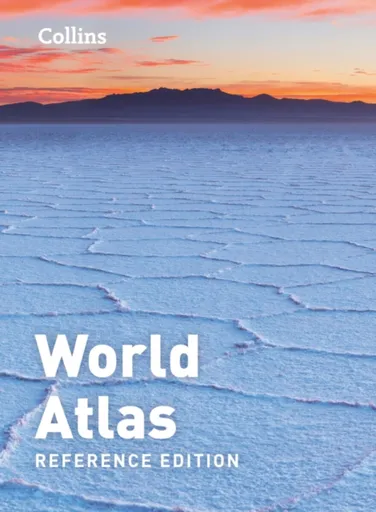
Collins World Atlas: Reference Edition - Collins Maps
A new, fully updated edition of this popular atlas in the Collins world atlas range. Designed in the distinctive Collins style, it is the ideal reference atlas for school, home and business use.
Objev podobné jako Collins World Atlas: Reference Edition - Collins Maps
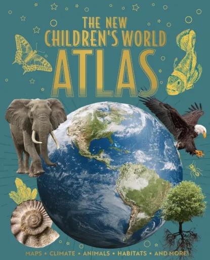
The New Children's World Atlas - Claudia Martin, Clare Hibbert, Honor Head, Donna Gregory
Celebrate our extraordinary, interconnected planet with this beautifully illustrated hardback atlas with gold cover accents.From Afghanistan to Zimbabwe, children can explore all corners of the world through perfectly rendered, clearly annotated maps. In-depth information pages explain more about Planet Earth, from oceans and icebergs to hurricanes and volcanoes. This hardback atlas gives children a fascinating insight into the world around them. Ideal for readers aged 8+.
Objev podobné jako The New Children's World Atlas - Claudia Martin, Clare Hibbert, Honor Head, Donna Gregory
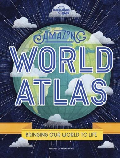
Lonely Planet Kids Amazing World Atlas - Lonely Planet Kids, Alexa Ward
Bringing planet earth to life, this colourful and fun addition to Lonely Planet Kids takes you on a trip around the world that you’ll never forget. Filled with continental and regional maps, lively text, an entry for every country on the planet, plus mind-blowing facts, and an emphasis on the species that live on our planet, this is an essential resource for young readers wanting to learn about the world.With 240 pages of illustrated maps, engaging infographics, mind-blowing photography and a large dose of humour, this fun and informative world guide, written by children’s author and wildlife enthusiast Alexa Ward, is the definitive guide to what our planet is really like. From exploration of indigenous peoples all over the globe, to illustrations of festivals in Brazil and each country’s individual history, young readers will be enticed to go on a journey to some of the furthest corners of the globe, learning intriguing facts as they go. Take a trip around the world that you’ll never forget with the Amazing World Atlas!About Lonely Planet Kids: Lonely Planet Kids – an imprint of the world’s leading travel authority Lonely Planet – published its first book in 2011. Over the past 45 years, ... Unknown localization key: "more"
Objev podobné jako Lonely Planet Kids Amazing World Atlas - Lonely Planet Kids, Alexa Ward
BIG WHITE (SLV) FIX-IT! 48V, DALI, kulatý, standardní lišta, spot, 2700 K, 6,6 W, 36°, zlatý / černý 1008947
Reflektor SLV FIX-IT! 48V je kulatý bodový spot určený pro standardní kolejnicové systémy SLV 48V. Disponuje teplou bílou barvou světla 2700 K, výkonem 6,6 W a úhlem svícení 36°. Je stmívatelný přes DALI, má index podání barev Ra 90 a je vhodný pro interiérové použití.
- Vysoký index podání barev CRI 90 pro věrné zobrazení barev
- Stmívatelný přes systém DALI pro dokonalou kontrolu intenzity
- Kompaktní rozměry a nízká hmotnost pro snadnou instalaci
- Dlouhá životnost 50 000 hodin a 2 roky záruky
Objev podobné jako BIG WHITE (SLV) FIX-IT! 48V, DALI, kulatý, standardní lišta, spot, 2700 K, 6,6 W, 36°, zlatý / černý 1008947
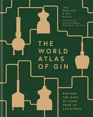
The World Atlas of Gin - Joel Harrison, Neil Ridley
''Excellent'' - Susy Atkins, the TelegraphFor everyone and anyone who wants to understand more about gin, this is the definitive guide - covering the best gins the world has to offer, history and production methods, and the countries that have helped make gin a global success story.Never has there been a more striking revolution in the world of distilled spirits than the current renaissance of gin. With small craft distilleries popping up all over the world, from Texas to Tasmania, more varieties and techniques being used than ever before, and a tapestry of tastes from light and citrusy to big bold savoury notes, gin''s appeal is extraordinarily wide and varied.From gin made in small batches from local botanicals, through to large facilities which make some of the world''s most recognized gin brands, World Atlas of Gin looks at everything from the botanical to the bottle: how and where botanicals are grown and harvested and their role within the flavour of gin; producers and the stories behind their brands; exactly where, and how, gins are made; and, country by country, the best examples to try. Global cocktails are covered too, including the history and country of origin of some of the ... Unknown localization key: "more"
Objev podobné jako The World Atlas of Gin - Joel Harrison, Neil Ridley
Nails Inc. It's Topless Megan lak na nehty 4v1 14 ml
Nails Inc. It's Topless Megan lak na nehty 4v1 spojuje podkladový lak, barvu, výživu i top coat. Obsahuje biopeptidy a skleněné částice, které se starají o lesk a výdrž až na 8 dní.
Objev podobné jako Nails Inc. It's Topless Megan lak na nehty 4v1 14 ml

DEOKORK Zahradní hliníkový altán MEGAN 6x3 m (grafit)
Hliníkový zahradní altán Megan o rozměrech 6x3 m s grafitovou povrchovou úpravou. Disponuje otočnou lamelovou střechou regulovatelnou klikou a integrovaným odvodem dešťové vody přes nohy konstrukce. Konstrukce z hliníku s epoxidovou úpravou je určena pro celoroční venkovní použití s minimální údržbou.
- Otočná lamelová střecha pro regulaci světla a stínu
- Odvod dešťové vody integrovaný v nohách konstrukce
- Nízká údržba díky hliníkové konstrukci s epoxidovou úpravou
- Celoroční venkovní použití a odolnost vůči povětrnostním vlivům
Objev podobné jako DEOKORK Zahradní hliníkový altán MEGAN 6x3 m (grafit)
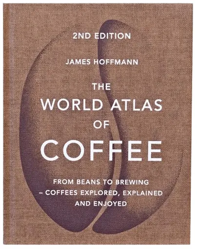
Kniha: The World Atlas of Coffee - James Hoffmann - 2nd Edition (EN)
V druhém vydání knihy The World Atlas of Coffee od autora Jamese Hoffmanna, spolumajitele pražírny Square Mile Coffee Roasters Jamese Hoffmanna, naleznete aktualizované statistiky pěstitelských zemí. Kniha vás provází od původu kávového zrna přes vaření a vychutnávání kávy. Celá kniha je rozdělena do tří hlavních sekcí: je zaměřena na odrůdy kávy, sklizeň, zpracování až pražení. zkoumá, jak dosáhnou t nejlepší chuti z kávy, kterou si pořídíte domů. Představuje různé metody přípravy, včetně espress, mlýnku na kávu a také detaily o kvalitě vody. je hlavní část knihy soustředící se na země, které kávu produkují. Kniha je v anglickém jazyce. Autor: James Hoffmann Rok vydání: 2018 Vazba: pevná Počet stran: 272 ISBN: 1784724297 Rozměr: 20 x 2.4 x 25.8 cm
Objev podobné jako Kniha: The World Atlas of Coffee - James Hoffmann - 2nd Edition (EN)
The World Atlas of Trees and Forests - White Peter, Herman and Research Professor) Shugart, Sassan, Adjunct Professor (UCLA)) Saatchi, Jerome Chave
A marvelously illustrated look at the world’s diverse forests and their ecosystemsThe earth’s forests are havens of nature supporting a diversity of life. Shaped by climate and geography, these vast and dynamic wooded spaces offer unique ecosystems that shelter complex and interdependent webs of flora, fungi, and animals. The World Atlas of Trees and Forests offers a beautiful introduction to what forests are, how they work, how they grow, and how we map, assess, and conserve them. Provides the most wide-ranging coverage of the world’s forests availableTakes readers beneath the breathtaking variety of wooded canopies that span the globeProfiles a wealth of tree species, with enlightening and entertaining natural-history highlights along the wayFeatures stunning color photos, maps, and graphicsDraws on the latest cutting-edge research and technology, including satellite imagery
Objev podobné jako The World Atlas of Trees and Forests - White Peter, Herman and Research Professor) Shugart, Sassan, Adjunct Professor (UCLA)) Saatchi, Jerome Chave

Stanex Povlečení atlas grádl tmavě šedá, 140 x 200 cm, 70 x 90 cm
Povlečení z atlas grádlu je vyrobeno ze 100% bavlny a nabízí pohodlí a hebkost. Tmavě šedý odstín a struktura proužků dodávají elegantní vzhled. Souprava obsahuje povlak na polštář 70x90 cm a povlak na přikrývku 140x200 cm.
- Vyrobeno ze 100% kvalitní bavlny pro mimořádnou hebkost
- Elegantní tmavě šedý odstín a struktura 2,5 cm proužků
- Snadná údržba – perte naruby bez bělidel
Objev podobné jako Stanex Povlečení atlas grádl tmavě šedá, 140 x 200 cm, 70 x 90 cm
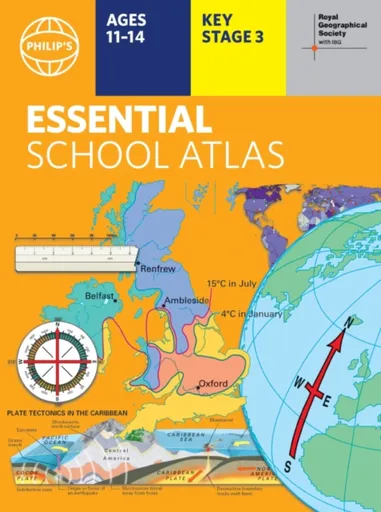
Philip's RGS Essential School Atlas - Philip's Maps
"An excellent world atlas. Very illuminating, good colours, clear texts...good glossary and, last but not least, up-to-date." - customer review- The ideal school atlas for Key Stage 3 pupils and Scotland''s National Qualifications, 11-14 years old- All updated for 2024 specifically to meet curriculum needs- Specially focused 16-page UK and Ireland section- Comprehensive 62-page world section includes thematic maps on the environment, climate change, people, quality of life, and energy- Published in association with the Royal Geographical SocietyPhilip''s RGS Essential School Atlas has been specially created for lower-secondary geography students (11-14 year olds). The maps have been carefully designed to be uncluttered and easy to read, containing specially selected place names and detail. A clear set of symbols and scale information accompanies every map, with a useful introductory section covering basic atlas skills, including aerial photographs and satellite images to further explain particular features on the maps. Latitude and longitude co-ordinates are included in the index, alongside figure-letter references. Fully up-to-date, the atlas includes detailed regional maps, charts and satellite images of Europe, Italy, the Middle East, China, Japan, Kenya, USA, Brazil, and the Arctic and Antarctica. It also focuses on areas of special interest for students of geography, such ... Unknown localization key: "more"
Objev podobné jako Philip's RGS Essential School Atlas - Philip's Maps

Stanex Povlečení atlas grádl béžová, 140 x 200 cm, 70 x 90 cm
Povlečení z atlas grádlu je vyrobeno z 100% bavlny a nabízí pohodlí a hebkost. Béžový odstín a struktura proužků dodávají elegantní vzhled. Souprava obsahuje povlak na přikrývku 140x200 cm a povlak na polštář 70x90 cm.
- Vyrobeno ze 100% kvalitní bavlny pro mimořádnou hebkost.
- Elegantní design s 2,5 cm proužky a noblesním béžovým odstínem.
- Snadná údržba – perte naruby bez bělidel a chemických čistidel.
- Kompletní souprava obsahuje povlak na přikrývku i polštář.
Objev podobné jako Stanex Povlečení atlas grádl béžová, 140 x 200 cm, 70 x 90 cm

Stanex Povlečení atlas grádl světle šedá, 140 x 200 cm, 70 x 90 cm
Povlečení z atlas grádlu je vyrobeno z 100% bavlny a nabízí pohodlí a hebkost. Světle šedý odstín a struktura proužků dodávají elegantní vzhled. Souprava obsahuje povlak na přikrývku 140x200 cm a povlak na polštář 70x90 cm.
- Vyrobeno ze 100% kvalitní bavlny pro mimořádnou hebkost.
- Elegantní design s 2,5 cm proužky a světle šedým odstínem.
- Snadná údržba – doporučeno prát naruby bez agresivní chemie.
- Kompletní souprava obsahuje povlak na přikrývku i polštář.
Objev podobné jako Stanex Povlečení atlas grádl světle šedá, 140 x 200 cm, 70 x 90 cm

Stanex Povlečení atlas grádl smetanová, 140 x 220 cm, 70 x 90 cm
Povlečení z materiálu atlas grádl nabízí hebkost a pohodlí. Sada obsahuje povlak na přikrývku 140x220 cm a povlak na polštář 70x90 cm v smetanovém odstínu. Je vyrobeno z kvalitní bavlny a vyznačuje se elegantním designem s proužky.
- Vyrobeno ze 100% kvalitní bavlny pro maximální pohodlí
- Elegantní design s 2,5 cm proužky a noblesním smetanovým odstínem
- Snadná údržba - doporučeno prát naruby bez agresivní chemie
Objev podobné jako Stanex Povlečení atlas grádl smetanová, 140 x 220 cm, 70 x 90 cm

Stanex Povlečení atlas grádl starorůžová, 140 x 220 cm, 70 x 90 cm
Povlečení z materiálu atlas grádl nabízí hebkost a pohodlí díky 100% bavlně. Design s 2,5 cm proužky a starorůžovým odstínem přináší do ložnice noblesní vzhled. Souprava obsahuje povlak na přikrývku 140x220 cm a povlak na polštář 70x90 cm.
- Vyrobeno ze 100% kvalitní bavlny pro maximální pohodlí
- Elegantní starorůžový odstín a struktura proužků
- Snadná údržba - doporučeno prát naruby bez agresivní chemie
- Kompletní souprava obsahuje povlak na přikrývku i polštář
Objev podobné jako Stanex Povlečení atlas grádl starorůžová, 140 x 220 cm, 70 x 90 cm
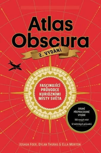
Atlas Obscura - Joshua Foer, kolektiv autorů
Atlas Obscura je průvodce představující přes 700 nejpodivuhodnějších a nejméně známých míst na planetě. Zahrnuje přírodní zázraky, bizarní lidské výtvory a tajemné lokality. Kniha slouží jako inspirace pro cestovatele hledající neobvyklé zážitky.
- Obsahuje více než 700 unikátních a kuriózních míst z celého světa.
- Inspiruje k objevování neznámých a nevyšlapaných cest.
- Bohatě ilustrovaný průvodce pro milovníky dobrodružství a záhad.
Objev podobné jako Atlas Obscura - Joshua Foer, kolektiv autorů
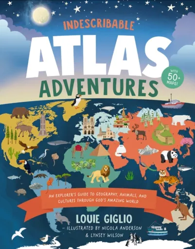
Indescribable Atlas Adventures - Louie Giglio
With more than 50 infographic maps, this illustrated world atlas for kids from bestselling author Louie Giglio will stretch your children''s understanding of the world as they discover more about God, science, and His amazing world!Indescribable Atlas Adventures offers a self-guided tour for your favorite explorer throughout the seven continents and over 50 countries. Easy-to-read maps, more than 1,500 facts, and a world map that helps kids identify each continent and country will help your child to think globally and discover new insights into God''s incredible creation. Each map includesan overview of each country''s population, languages, and prominent features;key facts about the country''s capital cities; neighboring countries; and the national bird, tree, and dish;notable people and their amazing achievements;the country''s terrain, climate, wildlife, contributions to space exploration, cultural hallmarks, and Christian faith traditions; andbiblical and inspirational pieces, like devotional thoughts, prayers, and Bible verses that highlight how amazing God and His world are.Indescribable Atlas Adventures is for ages 6 to 10 and spotlights several fascinating ecosystems, like the Sahara, Amazon, and Great Barrier Reef. This book has a large trim size to help kids explore fun details on each page and is a perfect "my first atlas of the world" ... Unknown localization key: "more"
Objev podobné jako Indescribable Atlas Adventures - Louie Giglio
Dětský chránič krční páteře ATLAS Tyke Grey
Dětský chránič krční páteře ATLAS Tyke Grey je určen pro motokros, BMX, čtyřkolky a horská kola. Konstrukce Split-Flex Frame a systém ERS zajišťují pohyblivost a možnost rychlého odložení. Chránič zabraňuje hyperflexi, hyperextenzi a axiálnímu zatížení páteře.
- Patentovaná flexibilní konstrukce Split-Flex Frame pro maximální pohyblivost
- Systém ERS umožňující rychlé odložení chrániče při nehodě
- Široká kontaktní zóna a odpružení hrudní části pro vyšší bezpečnost
- Minimalistický design s nízkou hmotností (460 g) pro pohodlí dítěte
Objev podobné jako Dětský chránič krční páteře ATLAS Tyke Grey

Stanex Povlečení atlas grádl smetanová, 140 x 200 cm, 70 x 90 cm
Povlečení z atlas grádlu je vyrobeno ze 100% bavlny a nabízí pohodlí s hebkou strukturou. Smetanový odstín a proužkový design přináší do ložnice eleganci. Souprava obsahuje povlak na polštář 70x90 cm a povlak na přikrývku 140x200 cm.
- Vyrobeno z 100% kvalitní bavlny pro mimořádnou hebkost
- Elegantní struktura 2,5 cm proužků podtrhne design
- Smetanový odstín dodá ložnici noblesní vzhled
- Snadná údržba - doporučeno prát naruby bez bělidel
Objev podobné jako Stanex Povlečení atlas grádl smetanová, 140 x 200 cm, 70 x 90 cm

Stanex Povlečení atlas grádl světle šedá, 140 x 220 cm, 70 x 90 cm
Povlečení Stanex z atlas grádlu je vyrobeno z 100% bavlny a nabízí pohodlí s elegantním designem proužků. Světle šedý odstín dodá ložnici noblesní vzhled. Sada obsahuje povlak na přikrývku 140 x 220 cm a povlak na polštář 70 x 90 cm.
- Vyrobeno ze 100% kvalitní bavlny pro mimořádnou hebkost.
- Elegantní design s 2,5 cm proužky a světle šedým odstínem.
- Snadná údržba – perte naruby bez agresivní chemie.
- Kompletní sada obsahuje povlak na přikrývku i polštář.
Objev podobné jako Stanex Povlečení atlas grádl světle šedá, 140 x 220 cm, 70 x 90 cm
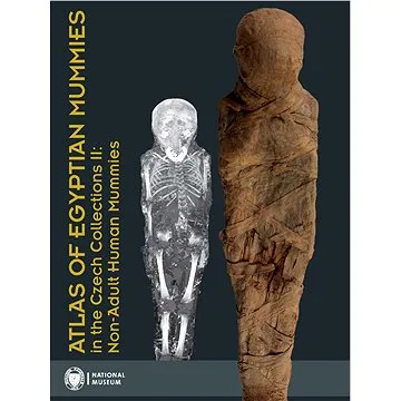
Atlas of Egyptian Mummies in the Czech Collections II: Non-Adult Human Mummies (978-80-7036-750-6)
Druhý díl série Atlas egyptských mumií v českých sbírkách se specializuje na mumie a pohřební vybavení dětí a dospívajících do 15 let. Obsahuje podrobný katalog dvou kompletních mumií, dvanácti izolovaných částí a šesti pohřebních schránek. Publikace přináší informace o zdravotním stavu, nemocech a pohřebních praktikách dětí ve starověkém Egyptě.
- Druhý díl odborné série o egyptských mumiích
- Zaměření na mumie dětí a dospívajících do 15 let
- Podrobný katalog s proveniencí a zdravotními analýzami
- Vědecky hodnotný materiál z Národního muzea v Praze
Objev podobné jako Atlas of Egyptian Mummies in the Czech Collections II: Non-Adult Human Mummies (978-80-7036-750-6)
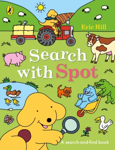
Search with Spot - Eric Hill
Search with Spot and find all his favourite things in this jam-packed book!Where''s Spot? . . . Where''s Steve? . . . Where''s Helen?Help Spot find all his friends and lots of other things too in this super search and find book. At home, in the park, at a party and all around Spot''s world, every page is packed with detail!Little ones will love exploring the colourful scenes and finding Spot and his friends on every page as they learn and play with Spot.Eric Hill''s Where''s Spot? was the first ever lift-the-flap book - and his ground-breaking innovation continues to delight and surprise readers with interactive fun. Spot has now been a trusted character in early learning for over 40 years, selling over 65 million books worldwide.Loved this? Try these:Where''s Spot?Find Spot at NurserySpot''s Big Lift-the-Flap BookSpot’s First 100 WordsSpot''s Hide and SeekWhat''s that Sound, Spot?
Objev podobné jako Search with Spot - Eric Hill
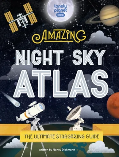
Lonely Planet Kids The Amazing Night Sky Atlas - Nancy Dickmann, Lonely Planet Kids
Lonely Planet Kids’ Amazing Night Sky Atlas, the follow up to our bestselling Amazing World Atlas, looks upwards to the skies for a fun- and fact-packed guide to astronomy. Featuring a mixture of photography and illustration, this hardcover book explores both the science of stargazing - explaining what can be seen in the night sky in different parts of the world - and the practicalities, with handy tips such as how to use a telescope. It also covers the background and history of astronomy, travelling around the world to discover the different stories cultures have told about the night sky and the influence the Moon, the stars and the movement of the planets have had on their people. Expert insights come from David Hawksett, a science writer, lecturer and researcher who has previously worked as the Science & Technology Consultant at Guinness World Records and written for Sky at Night Magazine. Perfect for learning at home, in the classroom or being given as a gift, Lonely Planet Kids’ Amazing Night Sky Atlas will inspire budding astronomers and excite them for a lifetime of looking to the skies.Contents includes:Introduction to the Night SkyHistory of stargazingHow to use a telescopeConstellationsSeasons in the ... Unknown localization key: "more"
Objev podobné jako Lonely Planet Kids The Amazing Night Sky Atlas - Nancy Dickmann, Lonely Planet Kids
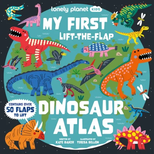
Lonely Planet Kids My First Lift-the-Flap Dinosaur Atlas - Kate Baker, Lonely Planet Kids
Discover the ROARSOME world of dinosaurs with this beautifully illustrated lift-the-flap book for dino-mad kids!Take a hands-on tour through the amazing world of dinosaurs and learn about where they lived, what they ate and how they spent their days. From the terrifying T-rex to the long-necked diplodocus, you''ll find some of the biggest, mightiest and deadliest dinos inside the pages of this book – with exciting lift-the-flaps that reveal extra secrets and surprises!Inside My First Lift-The-Flap Dinosaur Atlas:Over 50 interactive flaps to lift, all hiding amazing extra facts and dinotastic-detailsFascinating introduction to the world of dinosaurs that explores these incredible creatures across the continentsBeautiful visuals on every page with illustrations by Teresa Bellon, best known for illustrating Lonely Planet Kids'' My First Lift-the-Flap World Atlas, as well as several Usborne and Pan Macmillan children''s booksWritten by Kate Baker, author of many Lonely Planet Kids'' books including A Place Called Home, A Time to Celebrate, Seek and Find Cities, and Happiness Around the WorldContents feature: The World of Dinosaurs; North America; South America; Europe; Africa; Asia; Oceania; Antarctica Explore the world of dinosaurs through the eyes of an early reader with this fun and entertaining follow-up to My First Lift-the-Flap World ... Unknown localization key: "more"
Objev podobné jako Lonely Planet Kids My First Lift-the-Flap Dinosaur Atlas - Kate Baker, Lonely Planet Kids
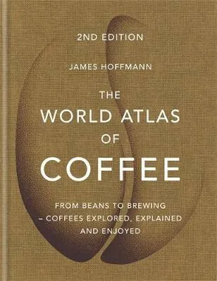
The World Atlas of Coffee - James Hoffmann
The worldwide bestseller - 1/4 million copies sold'Written by a World Barista Champion and co-founder of the great Square Mile roasters in London, this had a lot to live up to and it certainly does. Highly recommended for anyone into their coffee and interested in finding out more about how it's grown, processed and roasted.' (Amazon customer)'Whether you are an industry professional, a home enthusiast or anything in between, I truly believe this is a MUST read.' (Amazon customer)'Informative, well-written and well presented. Coffee table and reference book - a winner' (Amazon customer)'Very impressive. It's amazing how much territory is covered without overwhelming the reader. The abundant photos and images are absolutely coffee-table-worthy, but this book is so much more. I think it would be enjoyable for an obsessed coffee geek or someone who just enjoys their java.' (Amazon customer)For everyone who wants to understand more about coffee and its wonderful nuances and possibilities, this is the book to have.Coffee has never been better, or more interesting, than it is today. Coffee producers have access to more varieties and techniques than ever before and we, as consumers, can share in that expertise to make sure the coffee we drink is ... Unknown localization key: "more"
Objev podobné jako The World Atlas of Coffee - James Hoffmann
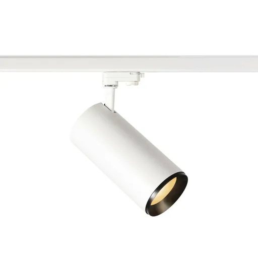
BIG WHITE (SLV) NUMINOS XL PHASE 3fázový spot bílý/černý 36 W 2700 K 36° 1005727
Tento 3fázový LED spot NUMINOS XL PHASE je výkonné bodové svítidlo s teplou bílou barvou světla 2700 K. Poskytuje světelný tok 3250 lm s úhlem vyzařování 36° a je stmívatelný. Je určen pro montáž do 3fázových lištových systémů v komerčních i rezidenčních prostorech.
- Vysoký světelný výkon 3250 lm při spotřebě 36 W
- Stmívatelný s věrným podáním barev (CRI 90)
- Dlouhá životnost 50 000 hodin s integrovaným LED modulem
- Snadná montáž do 3fázových lištových systémů
Objev podobné jako BIG WHITE (SLV) NUMINOS XL PHASE 3fázový spot bílý/černý 36 W 2700 K 36° 1005727
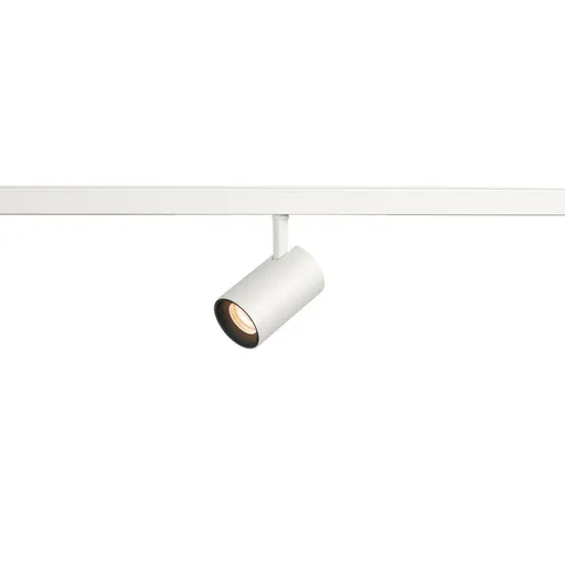
BIG WHITE (SLV) NUMINOS XS 48 V TRACK DALI, spot, bílé/černé, 8,7 W, 620 lm, 2700 K, CRI90, 40° 1006663
BIG WHITE NUMINOS XS 48 V TRACK DALI je kompaktní LED bodový reflektor určený pro profesionální a designové aplikace. Nabízí světelný tok 620 lm s teplotou 2700K a vysokým indexem podání barev CRI 90. Je kompatibilní se systémem DALI a je určen pro montáž na 48V lištové systémy.
- Minimalistický design s otočným a výklopným reflektorem pro přesné nasměrování světla.
- Vysoká věrnost barev díky indexu podání barev CRI 90 a teplé bílé barvě světla 2700K.
- Úsporný provoz s příkonem 8,7 W a světelným tokem 620 lm při životnosti až 50 000 hodin.
- Plná kompatibilita se systémem DALI pro inteligentní stmívání a řízení osvětlení.
Objev podobné jako BIG WHITE (SLV) NUMINOS XS 48 V TRACK DALI, spot, bílé/černé, 8,7 W, 620 lm, 2700 K, CRI90, 40° 1006663
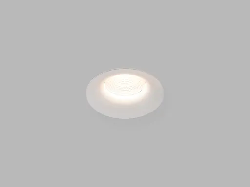
LED2 2150651D Zápustné svítidlo SPOT II C, W DALI/PUSH DIM 9W 3000K/3500K/4000K UGR bílá
Zápustné LED svítidlo SPOT II C s příkonem 9W a světelným tokem 735 lm nabízí volbu ze tří teplot chromatičnosti a stmívání pomocí technologie DALI/PUSH DIM. Díky nízkému oslnění (UGR <19) a vysokému indexu podání barev (Ra 90) je vhodné pro kanceláře a prostory s nároky na vizuální komfort. Krytí IP44 umožňuje instalaci i ve vlhkém prostředí, životnost činí 50 000 hodin.
- Stmívání DALI/PUSH DIM pro plynulou regulaci jasu
- Volba ze tří teplot světla (3000K/3500K/4000K) pro přizpůsobení atmosféry
- Nízké oslnění UGR <19 vhodné do kanceláří a učeben
- Ochrana IP44 pro použití ve vlhkých prostorech jako koupelny
Objev podobné jako LED2 2150651D Zápustné svítidlo SPOT II C, W DALI/PUSH DIM 9W 3000K/3500K/4000K UGR bílá

Stanex Povlečení atlas grádl starorůžová, 140 x 200 cm, 70 x 90 cm
Povlečení z atlas grádlu je vyrobeno ze 100% bavlny a nabízí pohodlí a hebkost. Souprava obsahuje povlak na přikrývku 140 x 200 cm a povlak na polštář 70 x 90 cm. Elegantní design s proužkovou strukturou a starorůžovým odstínem dodává ložnici noblesní vzhled.
- Vyrobeno ze 100% kvalitní bavlny pro mimořádnou hebkost.
- Elegantní design s 2,5 cm proužkovou strukturou.
- Starorůžový odstín dodává ložnici noblesní vzhled.
- Snadná údržba - doporučeno prát naruby bez bělidel.
Objev podobné jako Stanex Povlečení atlas grádl starorůžová, 140 x 200 cm, 70 x 90 cm
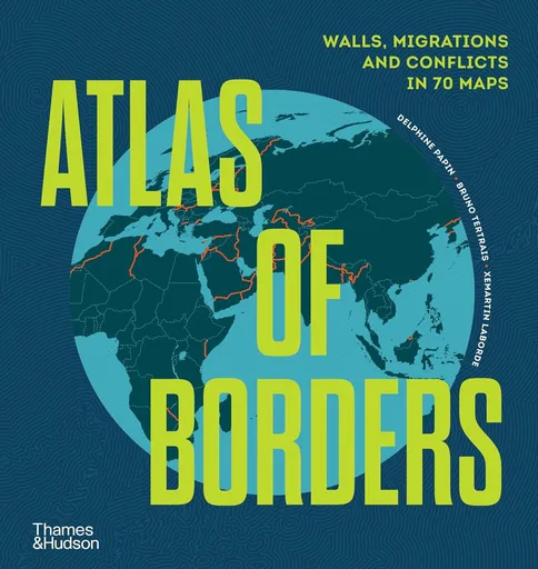
Atlas of Borders - Bruno Tertrais, Xemartin Laborde, Delphine Papin
Through 70 stunning infographics and maps, this exciting and timely book looks at the borders that define our current world. There are borders that are easily crossed and borders that are entirely impassable; there are visible borders – sometimes demarcated by fences, walls, flags and posts – and invisible borders – not seen on a physical map and oftentimes restrictive of access to targeted populations; there are land borders, maritime, political and cultural borders… Presenting 70 case studies through maps and infographics, two experts in geopolitics reflect on the modern world through the lens of border lines helping the reader make sense of a complex world. Atlas of Borders addresses the conflicts in Ukraine and the Middle East, the repercussions of Brexit, the Covid-19 pandemic, and the migration of peoples around the globe.Featuring up-to-date maps, the book also covers the aquatic borders of the Svalbard Islands, the borders of the eastern Mediterranean and the Blue Line dividing Lebanon and Israel. In a confusing and at times chaotic world that seemingly defies interpretation, this atlas sheds light on larger issues behind the lines that separate or connect us.
Objev podobné jako Atlas of Borders - Bruno Tertrais, Xemartin Laborde, Delphine Papin
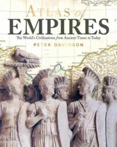
Atlas of Empires - Peter Davidson
Featuring 60 beautiful and detailed maps, Atlas of Empires tells the story of how and why the great empires of history came into being, operated, and ultimately declined, and discusses the future of the empire in today''s globalized world. Atlas of Empires tells the story of how and why the great empires of history came into being, operated and ultimately declined, and discusses the future of the empire in today''s globalized world. Featuring 60 beautiful and detailed maps of the empires'' territories at different stages of their existence and organized thematically to reflect the different driving forces behind empires throughout history (such as faith, nomadic culture, nationhood and capitalism), each section discusses the rise and fall of the empires that existed in a region: their government and society, wealth and technology, war and military force, and religious beliefs. From the earliest empires of the Sumerians and the Pharaohs to the modern empires of the USSR and the European Union, this is a story that reveals how empires are created and organized, how later empires resolve the problems of governance faced by earlier empires, and how the political and cultural legacies of ancient empires are still felt today.
Objev podobné jako Atlas of Empires - Peter Davidson
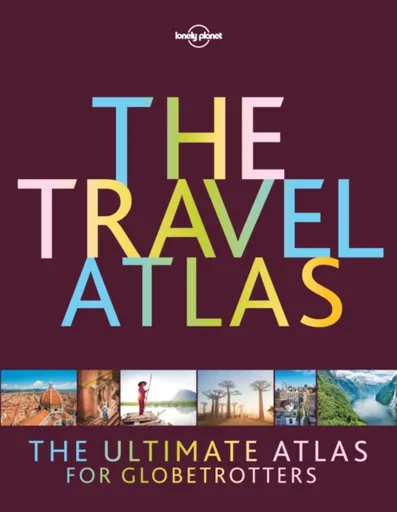
Lonely Planet The Travel Atlas - Lonely Planet
This is the ultimate world atlas for globetrotters. Combining our extensive mapping experience and unrivalled destination insight and knowledge, our first dedicated altas makes it easy for you to plan adventures and discover remarkable places around the planet.With Lonely Planet’s The Travel Atlas in your hands, you can explore every part of the world and plan upcoming trips with one simple and easy-to-use resource. Inside, you’ll find detailed maps to every country on Earth, with popular regions and destinations presented at greater scale. Each large page of mapping is accompanied with the area’s top sights and activities, while our themed itineraries, ranging from two days to two weeks, will ensure you don’t miss the best sights. You’ll also find trip planning tools like climate information and transport hubs to help you get there and away.About Lonely Planet: Lonely Planet is a leading travel media company and the world’s number one travel guidebook brand, providing both inspiring and trustworthy information for every kind of traveller since 1973. Over the past four decades, we’ve printed over 145 million guidebooks and grown a dedicated, passionate global community of travellers. You’ll also find our content on lonelyplanet.com, mobile, video and in 14 languages, 12 ... Unknown localization key: "more"
Objev podobné jako Lonely Planet The Travel Atlas - Lonely Planet
The Atlas Maneuver - Steve Berry
Román představuje nové dobrodružství Cottona Malonea, který se zaplete do pátrání po legendárním japonském válečném pokladu zvaném Yamashitovo zlato. Příběh propojuje historické události z konce druhé světové války se současnou hrozbou zneužití kryptoměn k narušení globálního finančního systému. Děj zavede čtenáře do Švýcarska, Lucemburska a marockých hor v honbě za odhalením konspirace známé jako Atlasovo manévr.
- Nejnovější díl oblíbené série Cotton Malone
- Napínavý příběh kombinující historická fakta a fikci
- Rychlý spád děje s mezinárodním přesahem
- Aktuální téma kryptoměn v thrillerovém kontextu
Objev podobné jako The Atlas Maneuver - Steve Berry
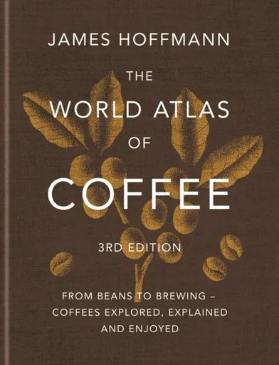
World Atlas of Coffee - James Hoffmann
For everyone who wants to understand more about coffee and its wonderful nuances and possibilities, this is the book to have. This expanded and fully updated 3rd edition contains new chapters on decaffeination and steep and release brewers, as well as additional origins of note such as Australia, Japan and Puerto Rico.Coffee has never been better, or more interesting, than it is today. Coffee producers have access to more varieties and techniques than ever before and we, as consumers, can share in that expertise to make sure the coffee we drink is the best we can find. Where coffee comes from, how it was harvested, the roasting process and the water used to make the brew are just a few of the factors that influence the taste of what we drink.Champion barista and coffee expert James Hoffmann examines these key factors, looking at varieties of coffee, the influence of terroir, how it is harvested and processed, the roasting methods used, through to the way in which the beans are brewed. Country by country - from Bolivia to Zambia - James identifies key characteristics and the methods that determine the quality of that country's output. Along the way we learn about ... Unknown localization key: "more"
Objev podobné jako World Atlas of Coffee - James Hoffmann